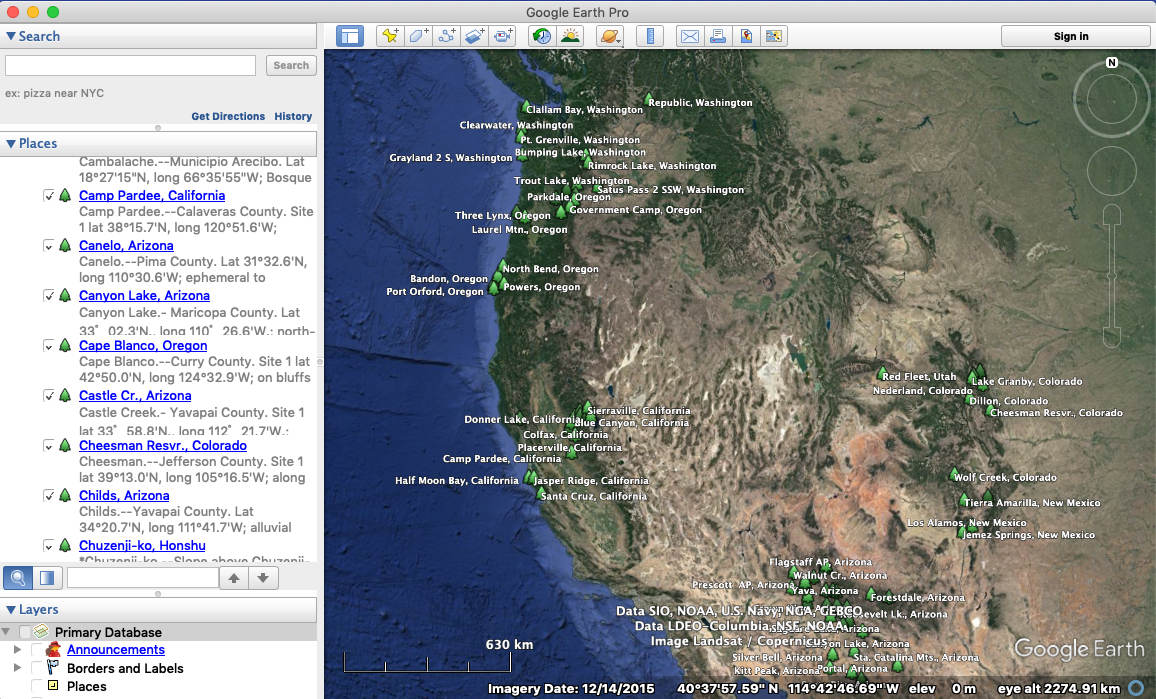
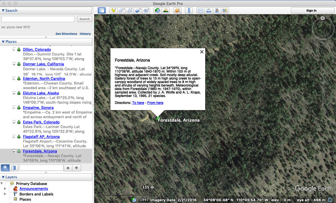
To see the locations of all the CLAMP vegetation calibration (training set) sites using Google Earth simply click on the link to the .kmz file above. To view the data in the file drag the downloaded file onto your Google Earth "My Places" pane. The file should then install into "Temporary Items" and may be saved into "My Places" when prompted. By clicking on the individual placeholders (tree icons) a dialogue box will open showing the collecting data associated with each site. If you don't have Google Earth you can download it free by clicking here.
|
||||||