Locality
Arctic Slope of Alaska locality USGS 11606, north of Maybe Creek. This locality is a bluff approximately 10 m high on the east side of an unnamed tributary of the Price River. The predominant lithologies are bentonitic clays overlying a silty sandstone capped by coal beds up to 2 m thick, which are in turn overlain by a white-gray medium-grained sandstone. Irregularly dispersed throughout the clay are nodules and sheets of ferruginous limestone (sideritic) which, although light gray when fresh, weather to a rusty brown. With the exception of some poorly preserved plant matter in the upper sandstones, and impressions of platanoid leaves in the power sandtsones, the plant material is confined to these fine-grained iron-rich nodules and is preserved as impressions totally lacking cuticle. There is little evidence of post-mortem decay but many leaves are penetrated by vertical fossil rootlets. Platanoid leaves are most common in siltier/sandier facies. The uppermost coal surface supports several in situ tree bases each of which is approximately 20 cm in diameter.
Latitude: 69.528329 °N
Longitude: -153.887128 °W
Description
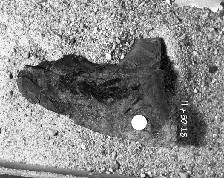
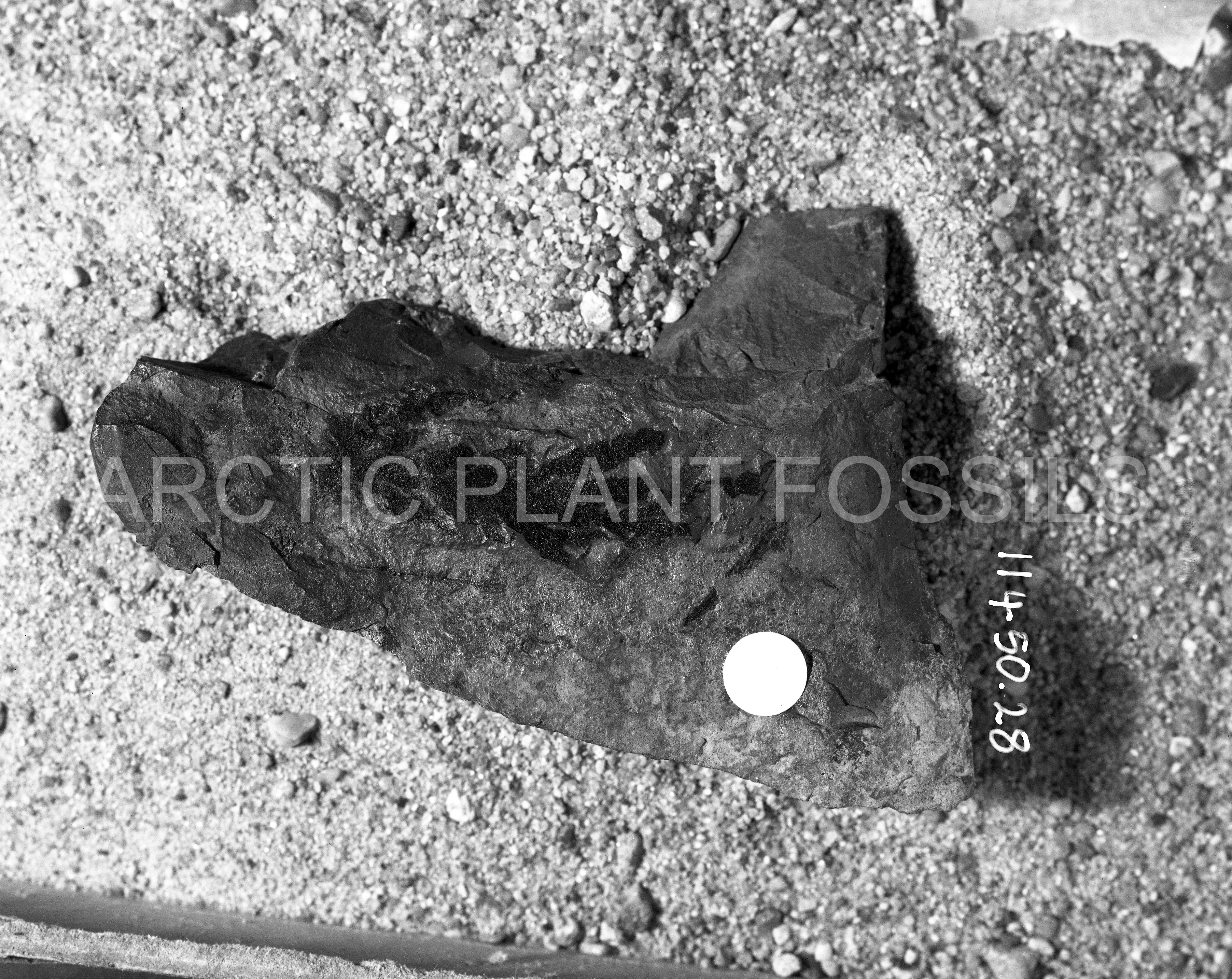
Leafy shoot: branching opposite to subopposite in one plane; shoots 2-3 mm in diameter; leaves opposite decussate, scale-like, adpressed to the shoot, apex obtuse.
Remarks
These cupressaceous-like conifer leafy shoots are rare among the gymnospermous remains from Alaska of this antiquity. Vaguely similar poorly preserved specimens were reported by Bell (1957) from the Nanaimo Group under the name Thuites corpulentus Bell. In his description Bell states that the leaf apex is acute whereas the Arctic Slope specimens exhibit a greater frequency of obtuse apices. Additional details are lacking as the fossils are devoid of cuticle and the organic matter present is compressed into a highly fractured coaly substance with no apparent structure.