
Locality
USGS11614
Lat. 60° 36' 36"N Long. 164° 49' 18"W
Baird Inlet (C-8) Quad. Nelson Island.
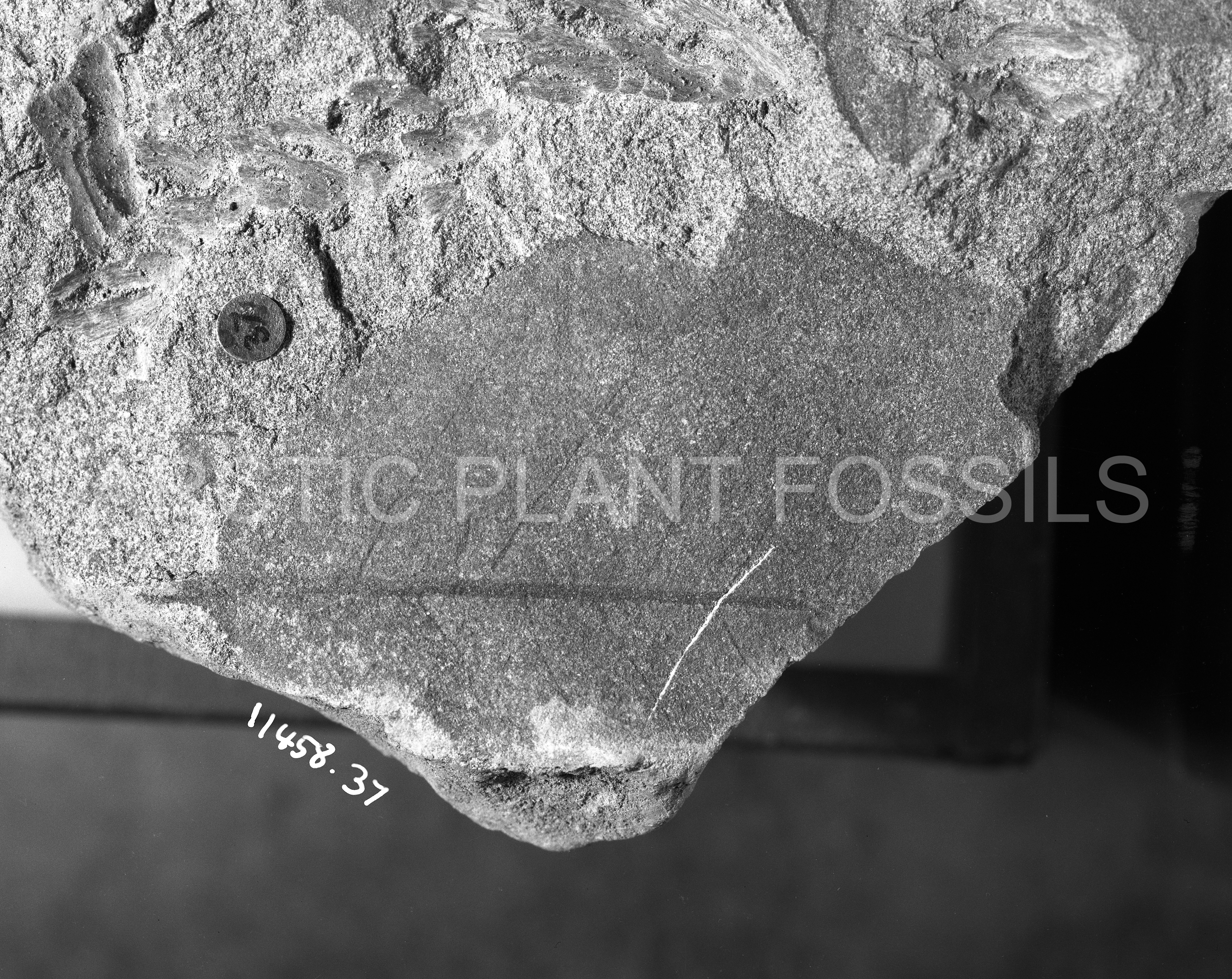
Description
Leaf: simple; symmetrical; elliptic; apex obtuse; base obtuse; margin entire; venation camptodromous, brochidodromous; primary midvein moderate to weak, more or less straight; secondary veins arising from the midvein at angle of 60-70° and curving uniformly until near the margin where the curvature increases and the vein turns back towards the midvein before joining the superadjacent secondary at an acute angle; tertiary arches sometimes present; sinuous intersecondaries present; tertiary veins weak, course uncertain but more or less straight or sinuous arranged at an oblique (±110°) angle to the midvein.
Remarks
This form bears a close resemblance to 'Magnolia' amplifolia which has been described from Moletin (Heer, 1869, p. 21; Plate 8, Figs. 1, 2; Plate, Fig. 1), the Dakota Group (Lesquereux, 1892, p. 200; Plate 24, Fig. 3), and the Melozi Formation (Hollick, 1930, p. 79; Plate 44, Fig. 2). Hollick states that European representatives occur in the Cenomanian or Senonian and it would appear that in North America a similar age range has been recorded.