Kukpowruk River
| Introduction | Geology | Northern Alaska Map | Kukpowruk Unassigned Fossils | Fossil Images |
|---|
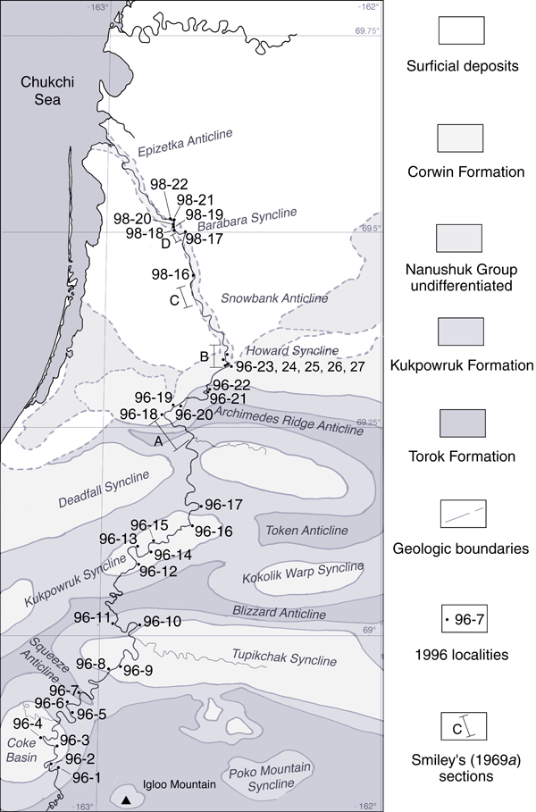
The map on the right shows the localities along the Kukpowruk River sampled both by Smiley (reported in Smiley 1969a), Spicer and Herman (1996) and by Bob and Andrew Spicer in 1998. Click on the locality numbers to see further details of the sites and the fossil floras. |
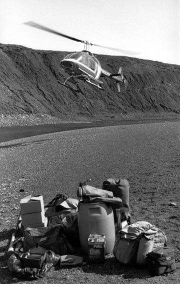
Left: Field photograph of field equipment and helicopter during the Kukpowruk River fieldwork float in 1996. |
Locality 96-1: 68° 48' 52" N 163° 07' 08"WKukpowruk FormationSpecimen: 96 RAS 21Description. Fine sands - medium gray weathering to yellow, silts, carbonaceous shales, ironstones, coals. Pityophyllum (forming leaf mats), Podozamites, ?Cladophlebis, Equisetites (in coarse silts). Upstream in rippled sands are Ginkgo ex gr. adiantoides leaves. Interpretation. Interfluve deposits including mires. Pityophyllum leaf mats suggest this species was locally monodominant and deciduous. The association of Ginkgo with probable channel sands suggest this taxon was abundant in riparian habitats.
|