Lower Colville River, Locality 86/23
| Northern Alaska Map |
|---|
The Barrow trail member of the Schrader Bluff Formation. Olive gray cross bedded fine sandstone, ripple marked, including interference ripples, bioturbated and containing numerous wood fragments up to 11 cm long, inoceramus fragments and bivalves. This unit is overlain by a yellowish brown weathering very fine sandstone/siltstone approximately 3 m thick. Above this is a platy yellowish gray fine sandstone with a relatively depauperate fauna of inoceramids and bivalves. Low angle to hummocky cross stratification. This is overlain by a dark bioturbated mudstone with fine sands associated with flaser bedding grading into a light gray very fine sandstone with large inoceramids. |

|
|
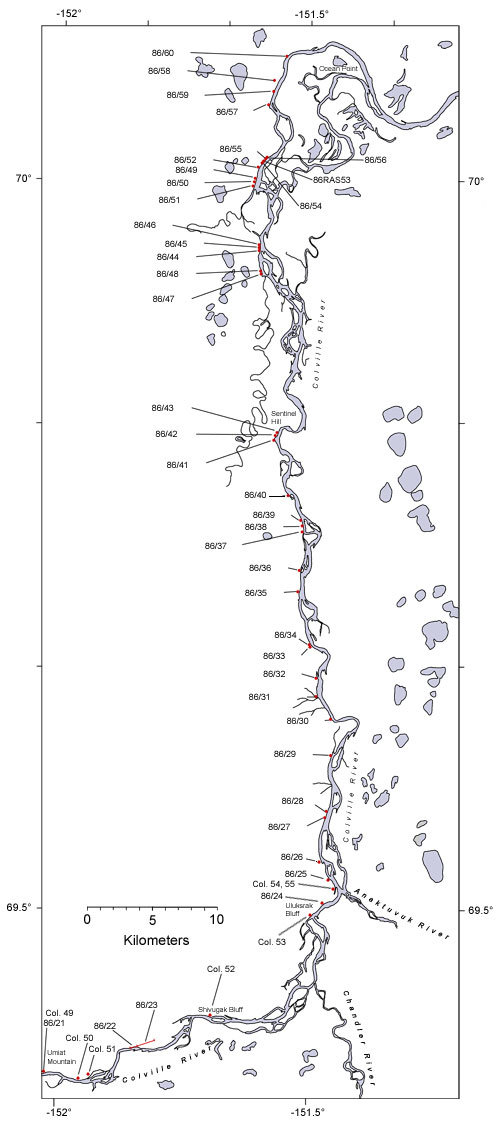
| Interactive map of the lower reaches of the Colville River showing plant fossil localities sampled by Smiley (1969) and by Parrish and Spicer in 1986. | ||
 |
||
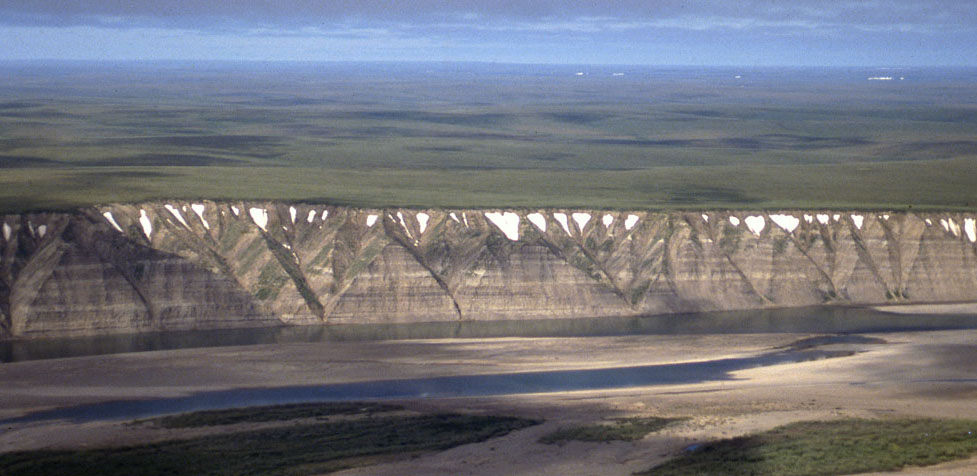
| Part of the exposure of the Prince Creek Formation (formerly the Kogosukruk Tongue of the Prince Creek Formation) on the western side of the Colville River between Uluksrak Bluff and Ocean Point. | ||
