Lower Colville River, Locality 86/29
| Northern Alaska Map |
|---|
Kogosukruk Tongue of the Prince Creek Formation. A continuation of the non-marine section seen at loacality 86/28. No imaged megafossils were collected.
|

|
|
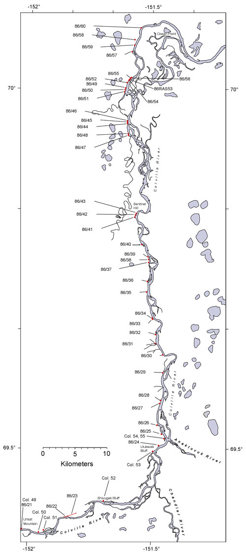
| Interactive map of the lower reaches of the Colville River showing plant fossil localities sampled by Smiley (1969) and by Parrish and Spicer in 1986. | ||
 |
||
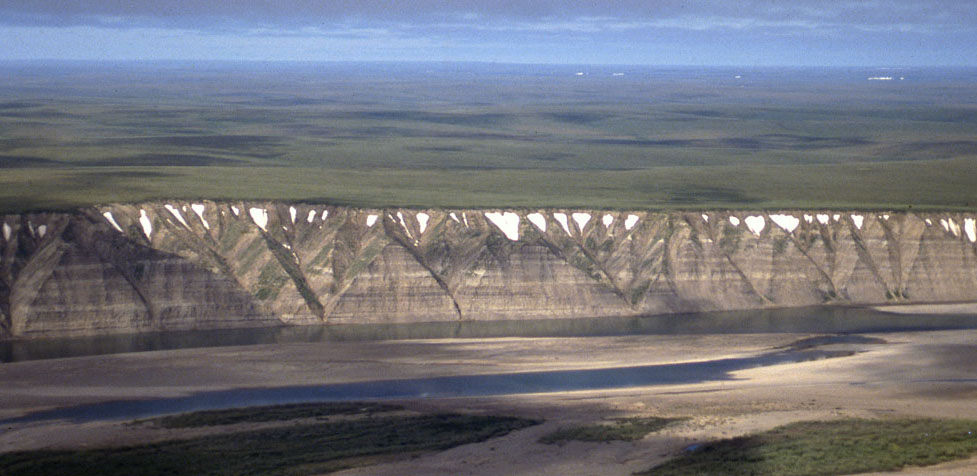
| Part of the exposure of the Prince Creek Formation (formerly the Kogosukruk Tongue of the Prince Creek Formation) on the western side of the Colville River between Uluksrak Bluff and Ocean Point. | ||
