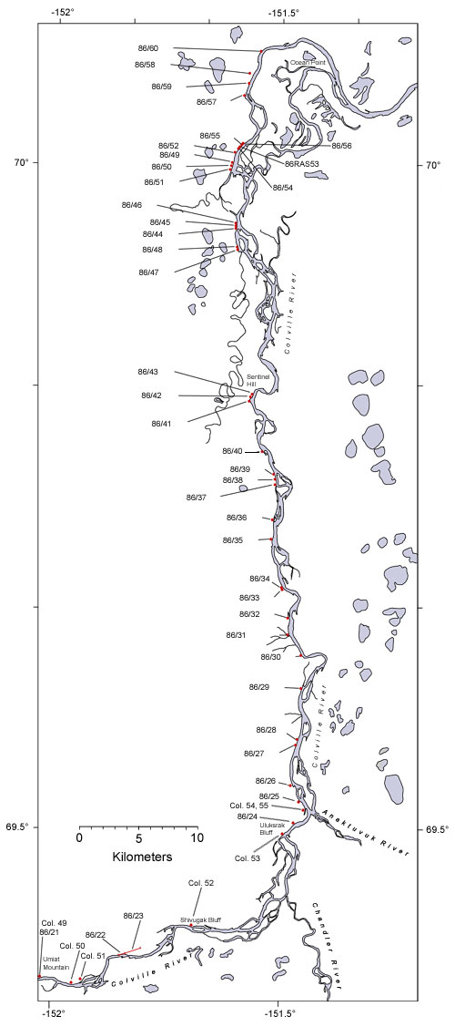
Lower Colville River, Locality 86/37
| Northern Alaska Map |
|---|
Kogosukruk Tongue of the Prince Creek Formation. At the base of the exposed section is a cross bedded bentonitic siltstone underlying a brown seat earth beneath a thin (5 cm) coal overlain by a paper shale (2.5 cm) and a bituminous coal (7.5 cm thick). Above this is a brown uncosolidated mudstone (approximately 20 cm thick) that coarsens upwards to a more indurated sandy mudstone, again approximately 20 cm thick, containing abundant wood fragments.
|

|
|
| Interactive map of the lower reaches of the Colville River showing plant fossil localities sampled by Smiley (1969) and by Parrish and Spicer in 1986. | ||
 |
||
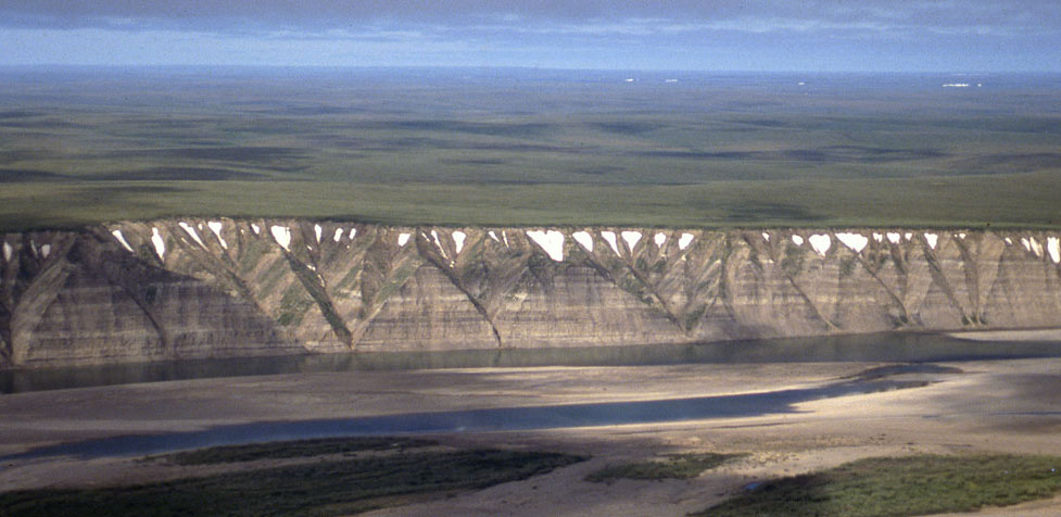
| Part of the exposure of the Prince Creek Formation (formerly the Kogosukruk Tongue of the Prince Creek Formation) on the western side of the Colville River between Uluksrak Bluff and Ocean Point. | ||
