Lower Colville River, Locality 86/57
| Northern Alaska Map |
|---|
Kogosukruk Tongue of the Prince Creek Formation. Here a greenish-grayrooted30 cm thick mudstone is exposed above slopewash and is overlain by a 20 cm thick brown papery mudstone with conifer leaves. Above this is a dark gray blocky siltstone (45 cm thick) with plant fragments and roots, particularly towards the top of the unit. This is overlain by a 20 cm thick laminated silt with abundant plant debris followed by a grayer clay, again rooted, some 50 cm thick. Above this is a rooted choclate brown silty clay (60 cm thick) overlain by an olive green clay containing Equisetites rhizomes and small round, yellow concretions. At the top of the exposed section is a dark brown carbonaceous siltstone 40 cm thick. |

|
|
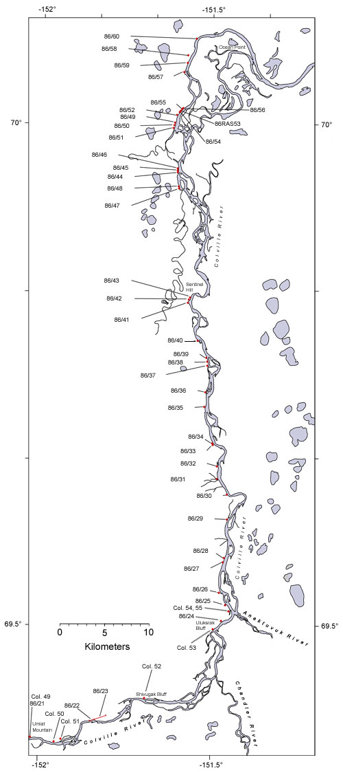
| Interactive map of the lower reaches of the Colville River showing plant fossil localities sampled by Smiley (1969) and by Parrish and Spicer in 1986. | ||
 |
||
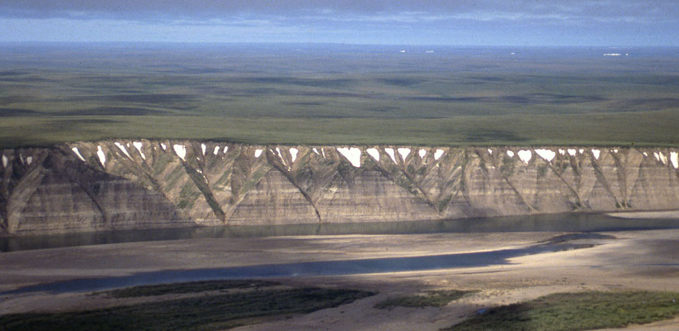
| Part of the exposure of the Prince Creek Formation (formerly the Kogosukruk Tongue of the Prince Creek Formation) on the western side of the Colville River between Uluksrak Bluff and Ocean Point. | ||
