Lower Colville River, Locality 86/59
| Northern Alaska Map |
|---|
Kogosukruk Tongue of the Prince Creek Formation. Although approximately 150 m upstream, stratigraphically this section overlays the previous one. The section begins with approximately 6m of rooted and crossbedded (laterally aggrading point bar deposits?) mudstone. Above this is 45 cm of abundantly rooted brown mudstone. This mudstone lenses out up and down stream. This mudstone is in turn overlain by 1.5 m of rooted cross bedded gray mudstone followed by 60 cm of olive to dark gray rooted bentonitic silt with bluish mottling. This passes up into an olive brown mudstone unit (60 cm thick), a light olive unit (75 cm thick), and a dark olive muddy clay (60 cm thick). Above this is a 30 cm thick dark gray carbonaceous clay with comminuted plant debris, a 10 cm layer of dark olive bentonitic clay, a medium olive bentonitic clay (20 cm thick) and a light olive (white in fresh surface) clay that represents an ash horizon. This ash is overlain by a light brown (inaccessible) unit about 30 cm in thickness and a white unit (another ash horizon?) about 50 cm thick. Approximately 30 m downstream the upper parts of this section were more accessible and the following description is from that location. Here the light olive and white unit is ash is rooted and grades into a light brown rooted clay about 15 cm thick. The olive unit, just below the white ash, contains Quereuxia.
|

|
|
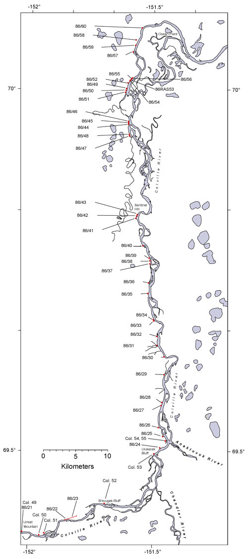
| Interactive map of the lower reaches of the Colville River showing plant fossil localities sampled by Smiley (1969) and by Parrish and Spicer in 1986. | ||
 |
||
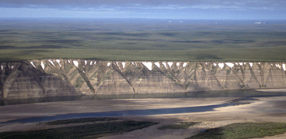
| Part of the exposure of the Prince Creek Formation (formerly the Kogosukruk Tongue of the Prince Creek Formation) on the western side of the Colville River between Uluksrak Bluff and Ocean Point. | ||
