Upper Colville River, Alaska
| Upper Colville Fossil Images Unassigned | Fossil Images 85JTP02 |
|---|
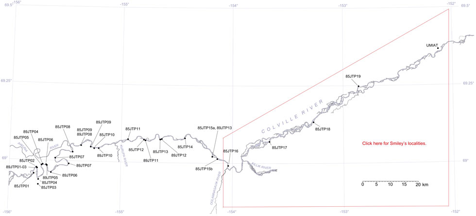
This interactive map of part of the Colville River, Northern Alaska, shows the locations of plant fossil collections made by J.T. Parrish and R.A. Spicer in 1985 and 1989. Click on a number for more details on that site. The red outlined area links to another map showing positions of florules (plant fossil assemblages) collected by C.J. Smiley along both the Colville and Chandler Rivers. |
Locality 85JTP02
As with 85JTP01 this locality is mapped as belonging to KcKt (lower part of the Killik Tongue of the Chandler Formation and Tuktu Formation undifferentiated, Chapman et al., 1964). Mull et al. (2003) reassigned this unit to the middle part of the Nanushuk Formation.
This section was given the name 'Western Horseshoe Bend' (LePain et al., 2008). The fine sands forming the 'split' in the coal seam was interpreted to represent a crevasse splay deposit. The main coal seam, which in places is as much as 3 m thick, is overlain by downlapping deltaic foresets interpreted to be a bayhead delta. Upsection, an upward-coarsening, upward-thickening sandstone unit displays well developed hummocky cross-stratification (Section 06DL005). LePain et al. (2008) interpret this as representing a transgressive deepening or lateral facies shift to fully marine lower or middle shoreface settings.
| Sketch of the 85JTP02 section (slightly shortened horizontally). The red rectangle indicates the part of the section shown in the photograph below. The red line shows the approximate position of the representative sedimentary log below. |  |
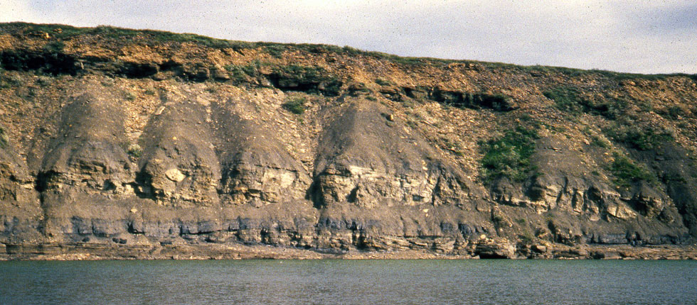 |
| Field photograph of the section at 85JTP02. The approximate height of the section is 20 m. |
 |
 |
|
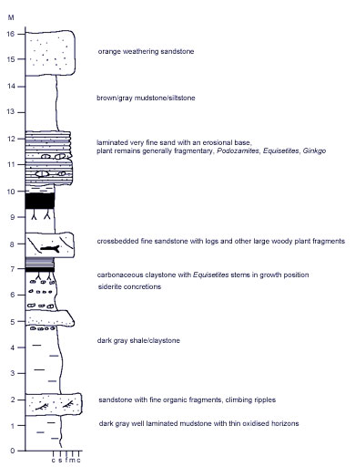
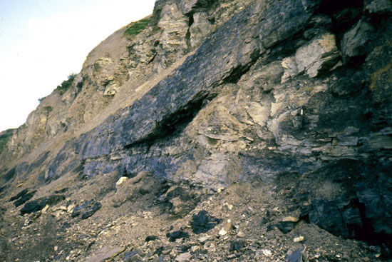
Above: detail of the split in the coal seam in the 85JTP02 section looking west. Left: representative sedimentary log of the 85JTP02 section as measured in 1985. The coals in the section are those shown in 06DL006 below. |
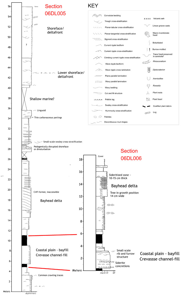 |
Left: Measured sections and environmental interpretations of LePain et al. (2008). |
