Website Banner


Kokolik River

Introduction Northern Alaska Map     Kokolik River Kukpowruk River


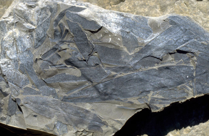
The Kokolik River mostly transects the mid and late Albian rocks assigned to the Kukpowruk Formation. The fossils represent pre-angiosperm forests dominated by conifers. Common leaf forms are assigned to Pityophyllum and Podozamites, ginkgophytes in the form of Sphenobaiera and Ginkgo and cycadophytes Nilssonia and Taeniopteris.


Interactive map of the Kokolik River localities Hotspot linking to Kokolik 98RAS02 locality Hotspot linking to Kokolik 98RAS03 locality Hotspot linking to Kokolik 98RAS04 locality Hotspot linking to Kokolik 98RAS05 locality Hotspot linking to Kokolik 98RAS06 locality Hotspot linking to Kokolik 98RAS07 locality Hotspot linking to Kokolik 98RAS08 locality Hotspot linking to Kokolik 98RAS09 locality Hotspot linking to Kokolik 98RAS10locality Hotspot linking to Kokolik 98RAS11 locality Hotspot linking to Kokolik 98RAS12 locality Hotspot linking to Kokolik 98RAS13 locality Hotspot linking to Kokolik 98RAS14 locality Hotspot linking to Kokolik 98RAS15 locality Hotspot linking to Kokolik River locality 1

Interactive map of western northern Alaska showing the positions of the plant fossil localities along the Kokolik River.


Field photograph of Taeniopteris.   Field photograph of Taeniopteris leaves.