Website Banner


Colville and Chandler Rivers Region

Map of Northern Alaska Map of Upper Colville River Area Map of Lower Colville River Area     Smiley Colville-Chandler Map


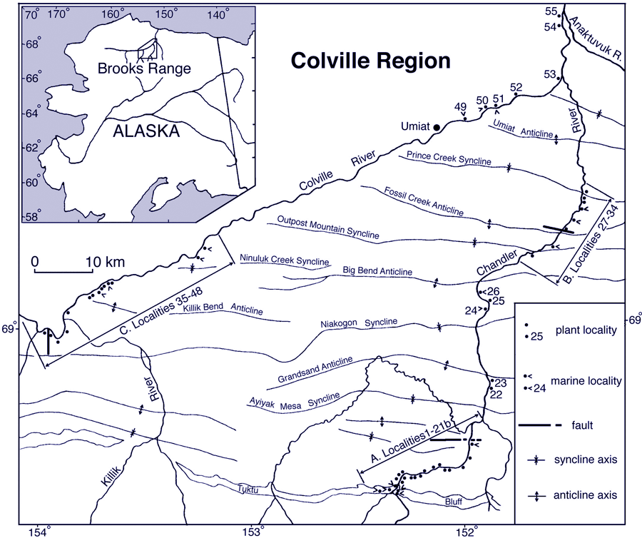
This map shows the localities along the Colville and Chandler Rivers sampled by Smiley (reported in Smiley 1969a). Click on the localities for links to images of the fossils found at each site.

 
Map of Smiley Colville LocalitiessColville Hotspot link to Smiley Colville-Killik Section Hotspot link to Smiley Chandler RiverTuluvak Bluffs section Hotspot linking to images of fossils found at Smiley Grandstand localities Hotspot linking to images of fossils found at Smiley Big Bend localities Hotspot linking to a page describing Smiley's locality Colville49 Hotspot linking to a page describing Smiley's locality Colville51 Hotspot linking to a page describing Smiley's locality Colville52 Hotspot linking to a page describing Smiley's locality Colville53 Hotspot linking to a page describing Smiley's locality Colville54 Hotspot linking to a page describing Smiley's locality Colville54
Hotspot link to Smiley Section C page